Xander Reed · 7 October 2026
Rhineland Vineyard Operators Adopt Drone Mapping for Cover Crop Optimization
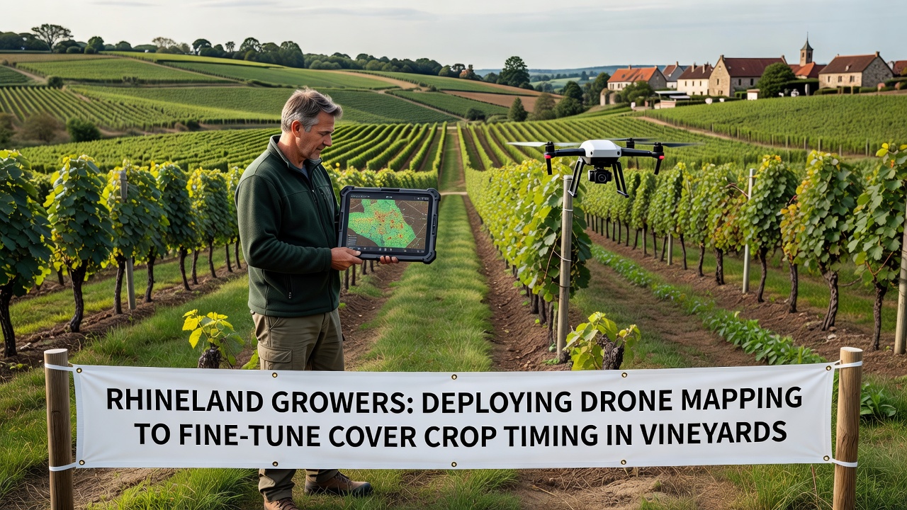
Rhineland vineyard operators have begun deploying drone mapping systems to refine cover crop planting schedules across their fields, and this shift comes as growers seek precise data on soil conditions and vine health. The technology allows teams to generate detailed maps that highlight variations in moisture levels, nutrient distribution, and canopy density, which in turn inform decisions about when to sow species such as clover or rye between vine rows.
Operators in the region report that traditional timing methods often relied on visual inspections and historical weather records, yet drone surveys conducted in October 2026 delivered layered datasets that captured real-time changes across multiple vineyard blocks. Those maps revealed micro-zones where early cover crop establishment could reduce erosion on sloped terrain while avoiding competition for water during drier periods.
Mapping Technology and Data Collection Practices
Drone platforms equipped with multispectral sensors fly predefined routes over vineyard parcels, collecting reflectance data that researchers process into indices such as NDVI and soil-adjusted vegetation indices. Growers then overlay these outputs with ground-truth soil samples to calibrate models that predict optimal sowing windows for different cover crop mixes. Equipment operators schedule flights during consistent light conditions, typically early morning or late afternoon, to minimize shadow interference and maintain image quality.
Processing software stitches individual images into orthomosaics that cover entire estates, allowing agronomists to zoom into specific rows and note patterns that field scouts might miss during routine walks. In one documented workflow, a Rhineland cooperative combined drone outputs with weather station records to adjust planting dates by up to ten days compared with previous seasons, and the adjustment aligned cover crop germination with forecasted rainfall events.
Integration with Vineyard Management Routines
Once maps are generated, vineyard managers integrate the findings into seasonal calendars that already include pruning, irrigation checks, and harvest preparations. Cover crop timing now factors into broader sustainability reporting required under current European agricultural guidelines, where data from drone surveys serves as verifiable evidence of soil conservation measures. Teams upload processed maps to shared platforms so multiple estates can compare outcomes across similar soil types and microclimates.
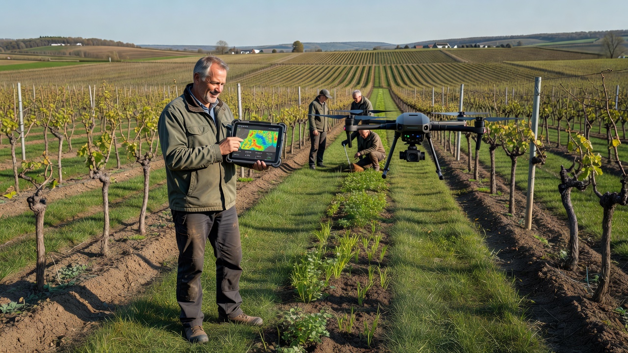
Local extension services have started offering training sessions that teach operators how to interpret drone imagery alongside existing farm management software. Participants learn to flag areas where cover crops should be delayed because of residual herbicide activity or accelerated where erosion risk appears elevated on the latest flight data. These sessions also cover regulatory requirements for drone operations, including flight logging and pilot certification standards maintained by German aviation authorities.
Observed Outcomes and Record-Keeping
Records from participating estates indicate that drone-informed timing reduced instances of cover crop failure during the 2026 growing cycle, particularly in blocks where soil compaction had previously limited seedling emergence. Aggregated figures shared by regional cooperatives show consistent improvements in organic matter readings after two consecutive seasons of adjusted planting dates. The data collection process itself creates an auditable trail that supports applications for environmental stewardship programs administered at both national and European levels.
Researchers at institutions such as the University of Hohenheim continue to analyze datasets from Rhineland sites to refine predictive algorithms, while the European Commission's agriculture portal publishes periodic updates on precision farming adoption rates across member states. Observers note that the combination of aerial imagery and ground validation produces more granular recommendations than satellite-based alternatives alone, especially in narrow valley vineyards where terrain complexity affects light and moisture patterns.
Conclusion
Rhineland vineyard operators continue to refine drone mapping protocols as equipment costs decline and software interfaces improve. The approach links high-resolution imagery directly to cover crop decisions, supplying factual records that align with evolving agricultural standards. As additional estates adopt similar workflows, the collective datasets expand opportunities for cross-site comparisons and long-term soil health tracking.